This is a photo taken at Star Valley Ranch this Sunday morning where there are still 2 feet of snow on the ground.
The GOES watervapor image at the same time displays a large upper ridge of high pressure off the West Coast which is forecast to move eastward the next few days.
The following three charts are for the 500mb level showing the progression of the high pressure ridge this coming week.
 |
| Sunday Morning April 6 2014 | |
|
 |
| Tuesday Morning April 8 2014 |
|
 |
| Thursday Morning April 10 2014 | | |
| |
| Daytime temperatures will rise into the 50s across Star Valley by Tuesday. | | |
|
| | Following are 3 Two day graphs of forecast temperatures and precipitation chances in Star Valley |
 |
| Add caption |
|
|
|
| . |
|
|
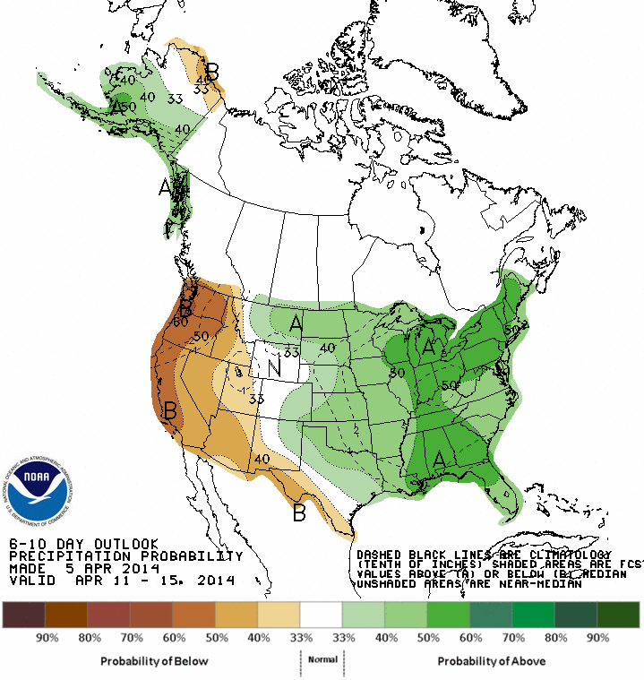
| | | | Looking further ahead the Climate Prediction Center suggests that rather mild and dry conditions could extend beyond the end of the week. | | | | | |
|
| | | | | | | | | | | | | | | | | |
Time will tell if this forecast works out as reliability this far in advance is near the limit of predictability
|
|
|


No comments:
Post a Comment